Feels extra cold this week. Just dived back into bed for half an hour to warm up.
-
 Turn On Christmas Radio
Bah humbug - to turn off the snow, visit your preferences and select a style that isn't Christmas.
You are using an out of date browser. It may not display this or other websites correctly.
You should upgrade or use an alternative browser.
You should upgrade or use an alternative browser.
The Weather Thread
- Thread starter summerisle
- Start date
Rita_Poon
Player Valuation: £100m
Feels extra cold this week. Just dived back into bed for half an hour to warm up.

summerisle
The rain, it raineth every day
I thought it had been a wet month, rain forecast for tomorrow as well. 
Rita_Poon
Player Valuation: £100m

UK weather: Met Office amber warning in force for heavy rain and flooding
Parts of the UK could see a month's worth of rainfall in just one day.

Hinchcliffe's Corner
Player Valuation: £50m

gonetomorrow
Player Valuation: £70m
Oi ! Le Tissier ! NO !
WTAF

I wonder if Dave is managing his socials for him !
summerisle
The rain, it raineth every day
I'm a member of a weather forum, and they post various model scenarios for a week to ten days. This one is for the 27/12, bloody baltic.

Anticipated snow depth.

This for New Year's Eve.

This is the most extreme of the models, and it's more than a week to go. Our weather is so fickle it's not likely to happen, but if you like cold weather the probability is that you'll get some at the back end of the year.
Anticipated snow depth.
This for New Year's Eve.
This is the most extreme of the models, and it's more than a week to go. Our weather is so fickle it's not likely to happen, but if you like cold weather the probability is that you'll get some at the back end of the year.
You did a Daily Express there.I'm a member of a weather forum, and they post various model scenarios for a week to ten days. This one is for the 27/12, bloody baltic.
Anticipated snow depth.
This for New Year's Eve.
This is the most extreme of the models, and it's more than a week to go. Our weather is so fickle it's not likely to happen, but if you like cold weather the probability is that you'll get some at the back end of the year.

Gloom and doom headline.
Logical explanation buried at the bottom.
summerisle
The rain, it raineth every day
I'm off to see what the latest models say, then we'll see !You did a Daily Express there.
Gloom and doom headline.
Logical explanation buried at the bottom.
Rita_Poon
Player Valuation: £100m
yee haa!I'm off to see what the latest models say, then we'll see !
summerisle
The rain, it raineth every day
Here we go :

The forecast from various models :
Days 8-10
Cluster 1 (33%) has a block over and just north of the UK with a trough to the south. Likely cold or very cold with a strong easterly gradient. Some precipitation available, likely cold enough for snow.
Cluster 2 (24%) is also cold, but likely dry with the high centred just north of the UK and extending south.
Cluster 3 (18%) is a fairly standard UK high, cold and dry, potential inversions with frost/fog.
Cluster 4 (16%) starts cold and dry then has a partial retrogression by day 10 which could bring even colder air in from the east eventually.
Cluster 5 (10%) has more of a mid-latitude high.
Much prefer cold weather to this mild wet weather at the momentI'm a member of a weather forum, and they post various model scenarios for a week to ten days. This one is for the 27/12, bloody baltic.
Anticipated snow depth.
This for New Year's Eve.
This is the most extreme of the models, and it's more than a week to go. Our weather is so fickle it's not likely to happen, but if you like cold weather the probability is that you'll get some at the back end of the year.
BITTER TWISTED & BLUE
Player Valuation: £1.5m
So basically it’s going to rain.Here we go :
The forecast from various models :
Days 8-10
Cluster 1 (33%) has a block over and just north of the UK with a trough to the south. Likely cold or very cold with a strong easterly gradient. Some precipitation available, likely cold enough for snow.
Cluster 2 (24%) is also cold, but likely dry with the high centred just north of the UK and extending south.
Cluster 3 (18%) is a fairly standard UK high, cold and dry, potential inversions with frost/fog.
Cluster 4 (16%) starts cold and dry then has a partial retrogression by day 10 which could bring even colder air in from the east eventually.
Cluster 5 (10%) has more of a mid-latitude high.

Shop

Everton Pint Glass
Our exclusive Everton pint glasses are a true collector’s item that pays homage to Goodison Park through iconic players who have graced the pitch over different generations.
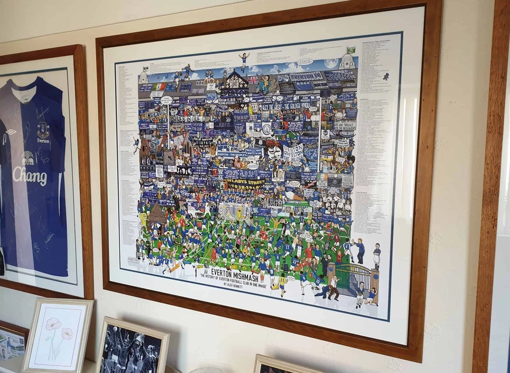
Everton Mishmash
The history of Everton FC in one image! “The best Everton thing I’ve ever got!”
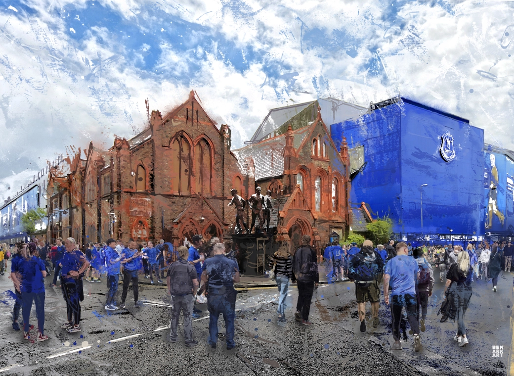
Goodison Park - Blue Skies
A truly, wonderful piece which brings memories of visits to Goodison Park alive.

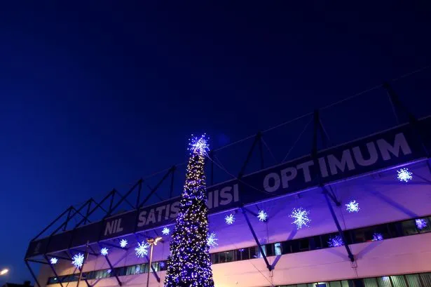
Goodison Park - Under The Lights
This print wonderfully encapsulates the magic of the ‘Goodison Under The Lights’.
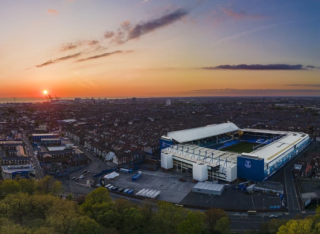
Goodison Park - Sunset
A wonderful, A3 aerial print of Goodison Park.
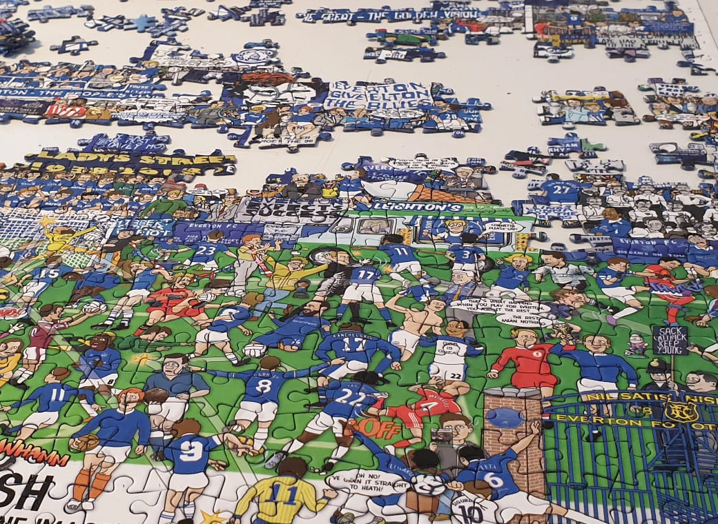
Everton Jigsaw
A special, limited edition 1,000 piece jigsaw of the popular Everton Mishmash – The History Of Everton FC In One Image!

Goodison Gang T-Shirt
Introducing our Goodison Gang Everton T-Shirt.
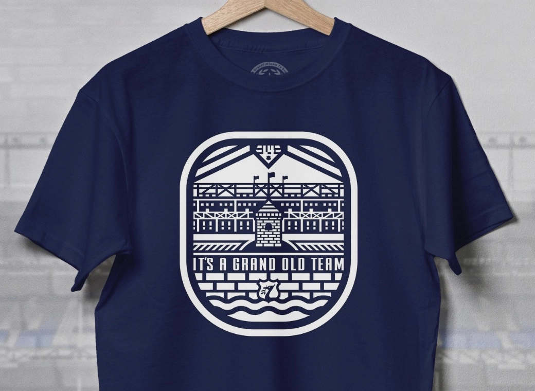
Grand Old Team T-Shirt
Our newest Everton T-Shirt.

Legends of Goodison Park
Everton champions, legends, and long-time servants assembled together in one squad photo!