Flat Vs Round...allegedly

Just an inaccurate projection for measuring distances like that.Flat Vs Round...allegedly
View attachment 328705

Hunts Cross perhaps? Geographically, it looks about right and horse and hunt.I can find no record of 'Horselet' ( in between Hale and Prescot.)
It is as you see on a minor road
Is it / was it something to do with the old blacksmiths on Cronton Rd?
Then theres Roebuck.???
Places do get 'absorbed' but in 1837 this is out in the sticks. The Victorian industrial expansion has yet to happen.
There's usually a vague referance knocking about somewhere in a street name.
View attachment 329018
Correlation doesn't mean confirmation.
Mercator projection which stretches the distance the further North or South you look.Flat Vs Round...allegedly
View attachment 328705
Could it be Oglet? Wikipedia (I know) also has a reference to it as Hogolete.Hunts Cross perhaps? Geographically, it looks about right and horse and hunt.

 futurism.com
I won't be getting that pacemaker then! (I joke I kid, if you need life saving medical help, let google monitor your diet and sex life)Man Alarmed to Discover His Smart Vacuum Was Broadcasting a Secret Map of His House
One man's robot vacuum was constantly communicating with its manufacturer, sending a detailed 3D map of his house halfway across the world.
Old roads / lanes are there because people, even the few(er) that were there in the 1830s use them and as time goes on there were more people to use that small west to east route.Could it be Oglet? Wikipedia (I know) also has a reference to it as Hogolete.
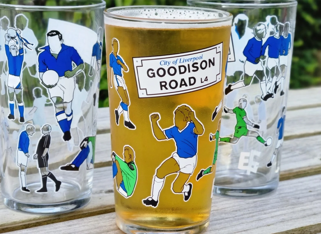
Our exclusive Everton pint glasses are a true collector’s item that pays homage to Goodison Park through iconic players who have graced the pitch over different generations.
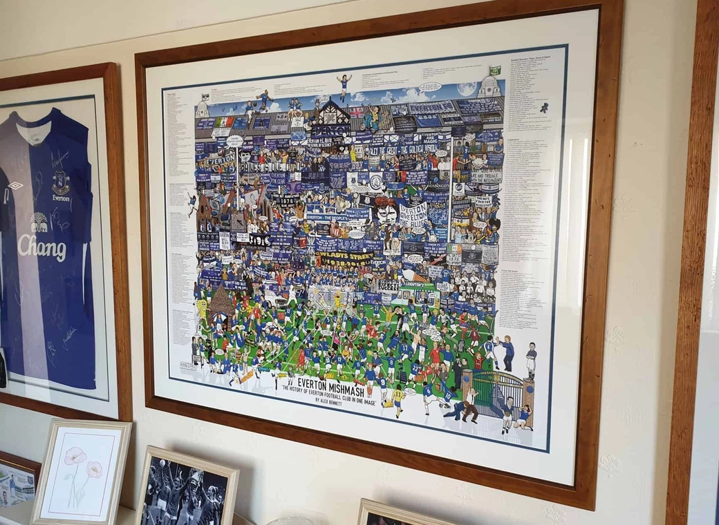
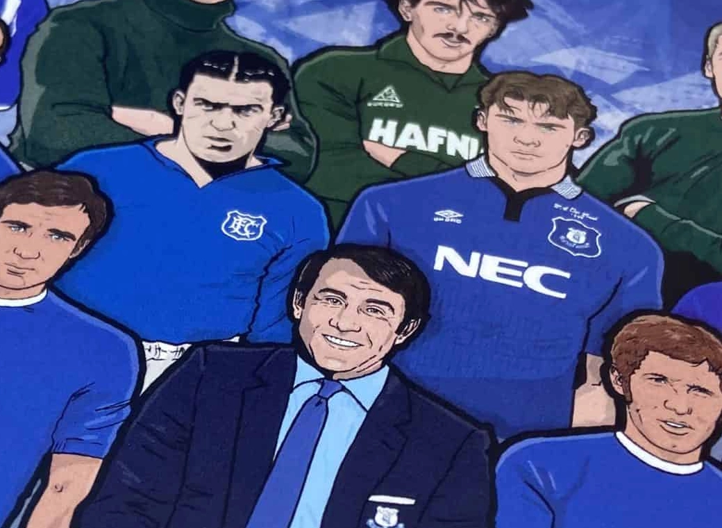
The history of Everton FC in one image! “The best Everton thing I’ve ever got!”
A truly, wonderful piece which brings memories of visits to Goodison Park alive.
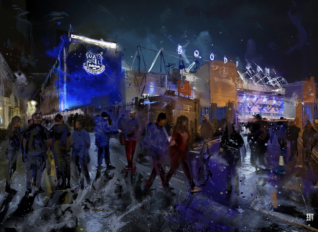
This print wonderfully encapsulates the magic of the ‘Goodison Under The Lights’.
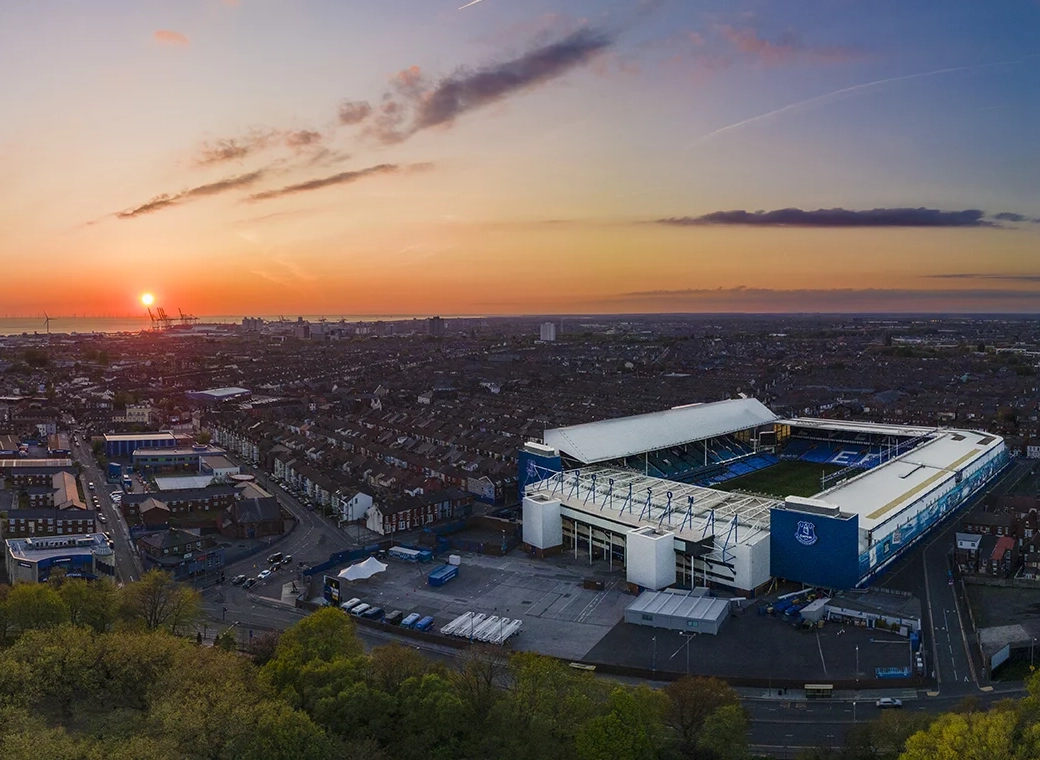
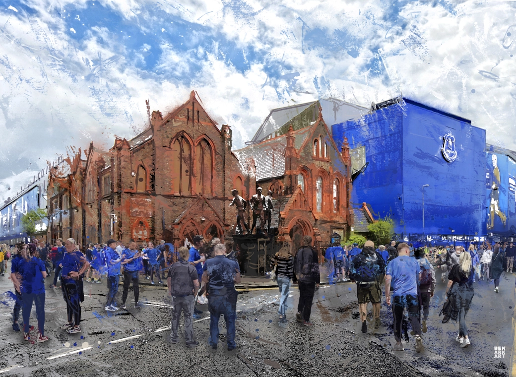
A wonderful, A3 aerial print of Goodison Park.
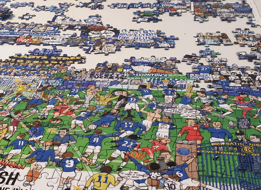
A special, limited edition 1,000 piece jigsaw of the popular Everton Mishmash – The History Of Everton FC In One Image!
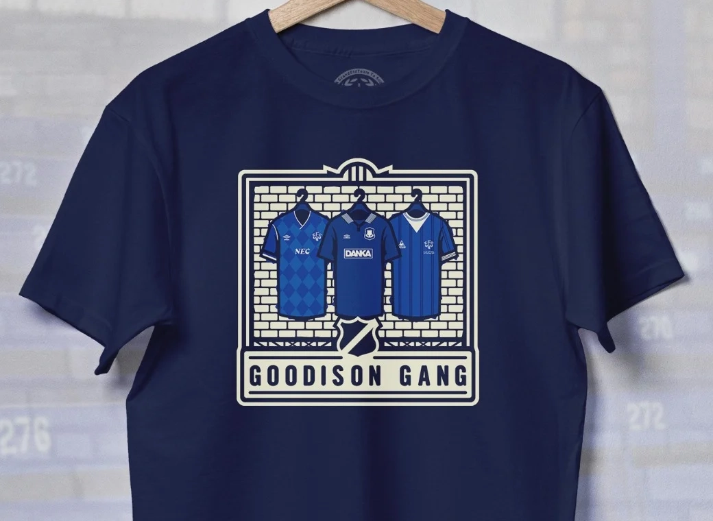
Introducing our Goodison Gang Everton T-Shirt.
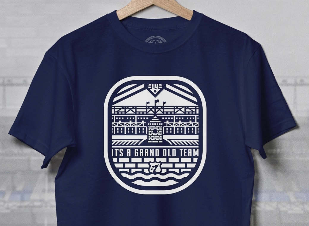
Our newest Everton T-Shirt.
Everton champions, legends, and long-time servants assembled together in one squad photo!


